The Setting of the Jewel - The Wyre Forest Locale
Manor Holding is located on a Neolithic 'ridgeway' / long distance footpath, now designated the "Abberley and Malvern Hills Geopark Way", which runs along the cottage drive. Traces of the previous IronAge "promontary settlement" known as "Kingswood Camp" stand on the opposite side of the ridgeway. As does a low tumulus tentively identified as a "barrow". On the near side a Pear tree atop a cairn of unknown date marks the junction of the Ironage track known as "Kingswood" with the medieval drove road known as "Kingswood Lane". The latter seems to have been originally about 30m wide, but is now defined as a Public Bridleway officially only 2.6m wide. The grounds of Manor Holding are also locally designated an "Ancient Farm Settlement" with both larger fields designated as "of Archaeological Interest"
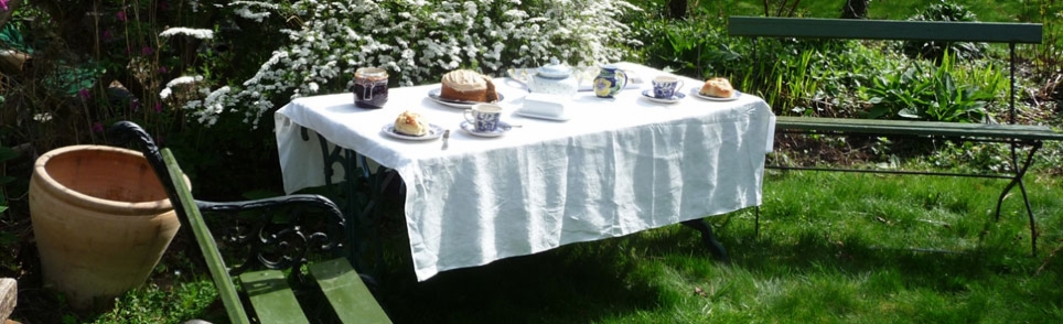
Tranquil rustic seclusion
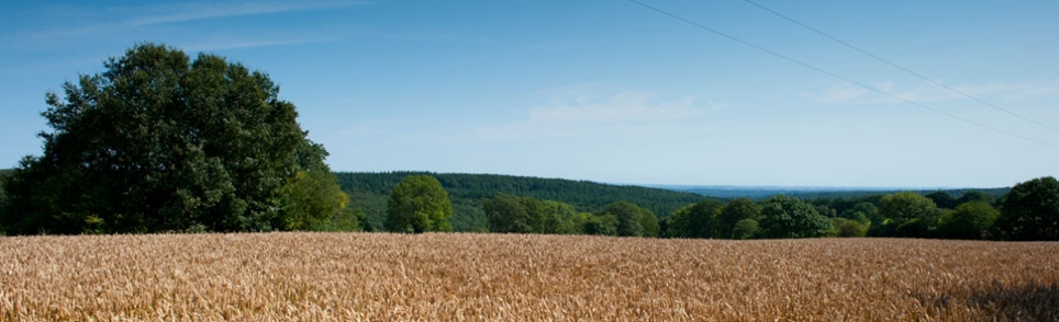
Rustic seclusion is the characteristic that strikes most people first about Manor Holding. As it is located close to the middle of the ancient Wyre Forest, half a kilometre (1/3ml) from the nearest winding tarmac country lane, along a rough medieval forest track maintained by residents of the hamlet; for whom it is the sole means of access. Manor Holding sits within fields won from the forest during the ironage, on the tip of a narrow ridge extending between steep narrow valleys filled with mixed woodland. The cottage drive is part of an historic footpath, the Geopark Way referred to above, which follows the crest of this ridge, with panoramic views over the forest, Severn Valley and distant Black Country as far as the Clent Hills.
The hamlet occupies land farmed by earlier Britons, who lived in the large fortified ironage "promontary" settlement at its heart, traces of which can be seen in the surrounding fields and woods. Higher up the ridge traces of Roman settlement and links to a prehistoric neolithic route between the River Severn at Bewdley and the Clee Hills to the West, have been discovered. Domesday records show that Queen Edith, wife of King Edward the Confessor and sister of King Harold, had owned the adjacent parish up to the Conquest. This parish boundary hedge survives as the current Northern boundary of Manor Holding, which was then enclosed within a Norman deer park, whose boundary hedgebank and ditch now define the Southern boundary of Manor Holding, and dictate the alignment of Kingswood Lane, the forest track and holloways leading to it.
Wyre Forest
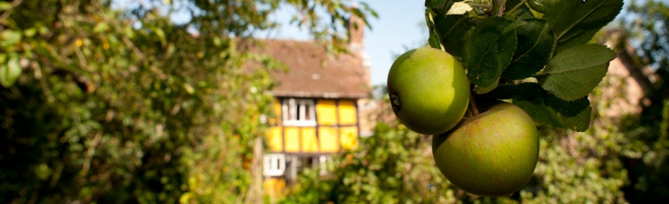
The surrounding Wyre Forest is home to one of the largest National Nature Reserves and Sites of Special Scientific Interest (SSSI) in England. The cottage orchards are included within this SSSI and the National Nature Reserve was expanded in 2018 to cover all the Wyre's designated Ancient Woodland, including the trees marking our property boundary. The forest is laced with traffic free networks of foot, bridle and cycle tracks, including both short and long distance routes for each, connecting right to the door of the cottage.
This ancient oak forest stands, predominantly on the west bank, astride the River Severn, the longest river in Britain, south of the World Heritage Site of Ironbridge. The beautiful countryside around the forest, much of it within the South Shropshire Hills National Landscape (formerly Area of Outstanding Natural Beauty), is rich in historic settlements and other places of interest.
Neighbourhood facilities
Local general store and Post Office: Far Forest 4km (2.5ml)
Most major supermarkets: Kidderminster 14km (9ml)
Gourmet foods: The medieval fortified "Slow City" of Ludlow 23km (14ml)
Industrial History: World Heritage Site of Ironbridge Gorge, "birthplace of the industrial revolution".
Restaurants: Far Forest; Button Oak; Callow Hill; Pound Green; Stottesdon; Cleobury Mortimer; Bewdley, and of course Ludlow, etc.
Neighbourhood attractions
Although this part of the forest remains tranquil, the wider forest is a major tourist attraction in its own right, and features such as the Forestry Commission's Wyre Forest Centre and GoApe on its southern margin attract large visitor numbers.
Golf courses, fishing complexes and other sports are scattered around the forest margin, making the most of the beautiful settings. As does the historic Severn Valley Railway (SVR), which follows the narrow, steep sided and heavily wooded, Severn Gorge up the eastern edge of the forest, linking Kidderminster, Bewdley, Arley, Highley and Bridgnorth. The distant mournful hoot of a steam train whistle can sometimes be heard across the forest.
Other nearby attractions include the West Midlands Safari Park, Highley Lido (heated outdoor swimming, sports centre and library), Rays Farm Wildlife Centre. The 109ml Abberley and Malvern Hills Geopark Way follows the cottage driveway into the forest, Sustrans' Mercian Way cycle route (NCR45), Sabrina Way long distance bridleway (209ml), and several other named long and short distance trails, each meander through the middle of the forest, linked to the cottage by gravel forest roads and more informal paths.